New Records on Ancestry.com, FamilySearch and Findmypast
Search millions of new records on Ancestry.com, FamilySearch & Findmypast, three of the Genealogy Giants. Find your family history in Australia, Brazil, Canada, Denmark, England, Germany, Hungary, New Zealand, Panama, Poland, Sweden, the U.S., Wales and in PERSI,...Genealogy Gems Podcast Episode 239 DNA and The Lost Family
The Genealogy Gems Podcast is the leading genealogy and family history show. Launched in 2007, the show is hosted by genealogy author, keynote presenter, and video producer Lisa Louise Cooke. The podcast features genealogy news, interviews, stories and how-to instruction. It can be found in all major podcasting directories, or download the exclusive Genealogy Gems Podcast app to listen to all the episodes and receive bonus content.
Click below to listen to this episode:
Podcast host: Lisa Louise Cooke
March 2020
Download the episode mp3
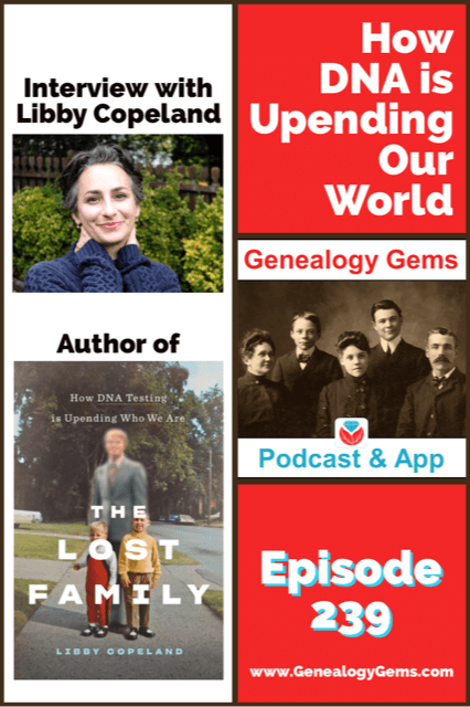
In this episode we’re going to delve into how DNA testing has changed our world with award-winning journalist Libby Copeland, author of the new book The Lost Family: How DNA Testing is Upending Who We Are.
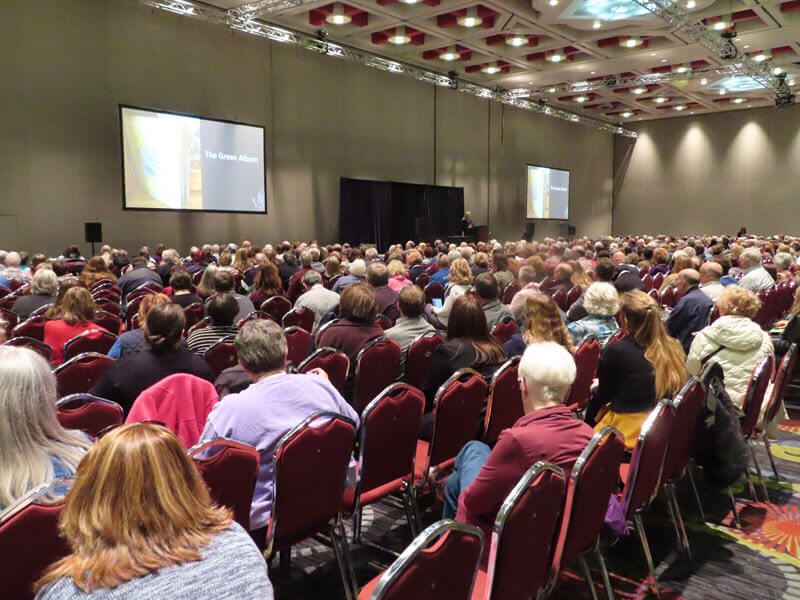
Lisa Louise Cooke presenting her new class “3 Cool Cases Solved: How to Identify Your Photos” at RootsTech 2020. Video coming soon to Genealogy Gems Premium Membership!
Genealogy Gems Mailbox
Jenn shares her journey into genealogy and her brand new family history blog.
Jenn writes:
You even inspired me to start my own blog! This is something I thought I would never do, but with your helpful tutorials and encouragement I got started last month and I already have 7 posts!
My question is about getting my blog to show up in Google Search. I am using Blogspot. I have used Google’s Search Console to request indexing for my url’s (they are all indexed). I have included labels and pictures. I use the key words often that I think folks will search for. I’m not sure what I’m doing wrong. Can you help me?
I have tried the following searches in Google to no avail:
“William” “Poland” 1788…1856 ~genealogy -Polish -Russian -Austrian
“William * Poland” 1788…1856 “Ohio” “Indiana” -Polish -Russian -Austrian -China ~genealogy
Here is a link to my blog: Poland Family History
Jenn has crafted some great Google search queries to see if her blog will come up in the search results. However, the query does need a few adjustments.
Numrange Search: 1788…1856
Use two periods – not three.
Synonym Search: The tilde (~genealogy)
This search is no longer supported by Google, and in reality really isn’t necessary due to the updates and improvements it has made to its search algorithm.
Simply include the word genealogy at the end of your query and it should provide search results for words like ancestry, family tree, and family history.
It can take Google up to around a month to index your site so that it will appear in search results. Give it a little more time. In the meantime, I would recommend setting up Google Analytics and Google Console for additional traffic data.
Run this search to verify your family history blog has been indexed:
site:https://polandfamilyhistory.blogspot.com/
This blog post by Neil Patel is a great source of additional information about how to get your site found and showing up in search results.
Lisa’s Recommended Strategy:
- Be Patient
- Keep Consistently Blogging
- Use free tools like Google Analytics and Google Console.
Genealogy Gems Book Club: Libby Copeland, author of The Lost Family
From the book: “In The Lost Family, journalist Libby Copeland investigates what happens when we embark on a vast social experiment with little understanding of the ramifications. Copeland explores the culture of genealogy buffs, the science of DNA, and the business of companies like Ancestry and 23andMe, and delves into the many lives that have been irrevocably changed by home DNA tests.”
You’re listening to episode 239.
Get your copy of the book here.
Thank you for using our affiliate link. We will be compensated at no additional cost to you, and that makes it possible for us to be bring more interviews to the free Genealogy Gems Podcast.
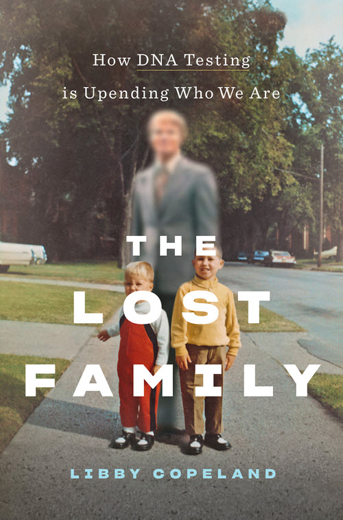
Click image to order “The Lost Family”
Libby Copeland is an award-winning journalist who has written for the Washington Post, New York magazine, the New York Times, the Atlantic, and many other publications. Copeland was a reporter and editor at the Post for eleven years, has been a media fellow and guest lecturer, and has made numerous appearances on television and radio.

Libby Copeland author of The Lost Family
Quotes from Libby Copeland:
‘I think that America in many ways because of commercial genetic testing is becoming a nation of seekers, and we’re all sort of seeking out our origins.”
“It’s hard to tell your story when you don’t have a beginning.”
“So, we’re sort of operating in the dark in a way. It’s like we have a flashlight and it only illuminates what’s directly in front of us.”
“We have all this information that’s available with the intention for it to be used for one thing, and we cannot anticipate the ways in which it might be used in coming years.”
“So, DNA is…really causing in many ways, the past to collide with the present. And that’s what I find so fascinating.”
Quotes from Lisa Louise Cooke:
“When you say, ‘what’s coming in the future?’ and he (Yaniv Erlich) says ‘oh, I don’t have a crystal ball, but you don’t need one because you look to the past.’ This is what we as genealogists do all the time!”
Get your copy of the book here.
Thank you for using our link and supporting author interviews and the free Genealogy Gems Podcast.

The Genealogist’s Google Toolbox , 3rd Edition
By Lisa Louise Cooke
-
- Fully Updated and Revised!
- Brand New Chapters
- Featuring Lisa Louise Cooke’s Google Search Methodology for 2020
A lot has changed and it’s time to update your search strategy for genealogy!
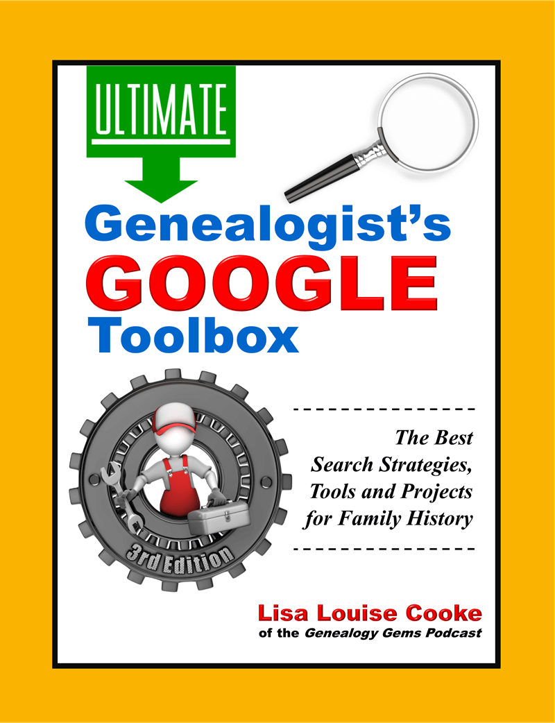
Click to order your copy of “The Genealogist’s Google Toolbox, Third edition” by Lisa Louise Cooke
Discover the answers to your family history mysteries using the newest cutting-edge Google search strategies. A comprehensive resource for the best Google tools, this easy-to-follow book provides the how-to information you need in plain English.
This book features:
- Step-by-step clear instructions
- quick reference pages.
- Strategies for searching faster and achieving better results.
- How to use exciting new tools like Google Photos and Google Earth.
Visit the Genealogy Gems Store here to order your copy.
Read our latest articles at Genealogy Gems:
- Recent New and Updated Genealogy Records Online
- Collection of Historical U.S. City Directories Released by MyHeritage
Please Help Us by Taking the 1 Minute Genealogy Gems Survey
Please help us create the best podcast for you by taking this very short survey.
Follow Lisa and Genealogy Gems on Social Media:
Instagram: Follow me here.
Facebook: “Like” the Genealogy Gems Podcast page here.
Pinterest: Follow me here.
Genealogy Gems YouTube Channel – Subscribe here and click the bell notification icon.
Stay Up to Date with the Genealogy Gems Newsletter
Click here to sign up today for the free Genealogy Gems email newsletter.
Download the Show Notes
Google’s Plus Sign Now Has New Meaning – Search Operators
On October 27 I reported on this blog that Google quietly eliminated the use of the plus sign operator in Google Search. (A Change You Need to Know About)
 The technology community suspected that “the move was in response to their growing focus on Google+ and the possibility of a new use for the “plus” sign.” I encouraged you to stay tuned.
You didn’t have to wait long to find out why the change was made. Yesterday Google announced on the Official Google Blog a use for that plus sign: Direct Connect from Google Search.
Direct Connect from Google Search
It’s no surprise that the plus sign’s new role has something to do with connecting users to Google+, the (fairly) new social networking platform. The + sign is now all about quickly connecting you directly to business Google+ Pages.
Many have wondered why Google+ didn’t allow for business and organization profiles since that is a big part of the Facebook offering. It appears now that the delay was in order to re-purpose the plus sign.
Google explained it this way: “Maybe you’re watching a movie trailer, or you just heard that your favorite band is coming to town. In buy pain medication online net both cases you want to connect with them right now, and Direct Connect makes it easy – even automatic. Just go to Google and search for [+], followed by the page you’re interested in (like +Angry Birds). We’ll take you to their Google+ page, and if you want, we’ll add them to your circles.”
So the plus sign can now get us connected to Angry Birds, quicker? Whoo hoo?! Gosh, I was perfectly happy with the way the plus sign got me to web pages that shared information about my ancestor (+Jehu Burkhart I miss you!)
Direct Connect is up and running for a couple of the big boy brands like +Google, +Pepsi, and +Toyota, so you can try those searches to see how they work. Eventually the rest of the world will be allowed in and you can learn more about how Direct Connect for your organization in the Google Help Center.
So remember, if you want to connect with Pepsi you can plus. But, if you’re looking for a specific ancestor, word, or phrase you need to surround them in quotation marks. And you can quote me on that!