Share World War I Family History
 To commemorate the centennial of the First World War, and to mark the last full month of the exhibition Myth and Machine: The First World War in Visual Culture, the Wolfsonian at Florida International University (FIU) created a special Tumblr for sharing family stories, WWI memorabilia, and genealogy research tips called #GreatWarStories.
I first crossed paths with FIU’s Digital Outreach Strategist Jeffery K. Guin in 2009 when he interviewed me for his Voices of the Past website and show. Jeff was an early innovator in the world of online history, and he’s now brought those talents to the Wolfsonian, a museum, library and research center in Miami that uses its collection to illustrate the persuasive power of art and design.
The Wolfsonian team of historical sleuths is inviting the public at large to help them unearth the forgotten impact of the Great War by posting family facts, anecdotes, documents, and photographs. They were inspired by their current art exhibition Myth and Machine: The First World War in Visual Culture which focuses on artists’ responses to the war. They hope that #GreatWarStories project at Tumblr will be a “living, breathing digital collection of personal WWI stories, photos, documents and letters compiled in remembrance of the transformational war on the occasion of its centennial.”
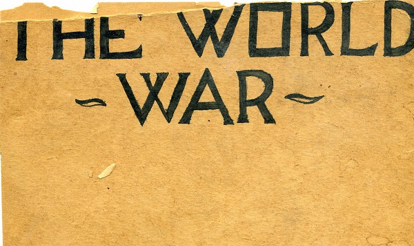
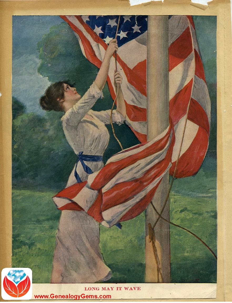
Jeff asked me to join in on this buy add medication online history crowd-sourcing effort, and it was easy to comply. Several years ago in going through the last of my Grandmother’s boxes, I found a booklet she had crafted herself called The World War.As a high school student, and daughter of German immigrant parents she set about gathering and clipping images from magazines and newspapers, depicting this turning point in history. I’ve been anxious to share it in some fashion, and this was my opportunity. Here is the result:
Do you have a piece of World War I history hiding in our closet? Why not join in this experiment in storytelling, sharing and curating, and share World War I family history?
Here are some ways you can contribute:
- Sharing the story of your family’s WWI-related history through photos, documents, or anecdotes (possibilities include guest blogging, video/podcast interview, or photo essay)
- Using your expertise and unique perspective as a launching pad for discussing the war’s impact in a different or surprising way
- Alerting the museum to related resources or materials that would dovetail with the mission of the project
To see the living, digital collection, visit http://greatwarstories.tumblr.com. If you would like to participate, send an email to greatwarstories@thewolf.fiu.edu and the Wolfsonian team will be in touch to discuss storytelling ideas.
NEW! Nova Scotia and South African Genealogy Records on FamilySearch
Among the 3.7 million+ records new on FamilySearch this week are two updates that caught my eye for international regions that need more record sets online:
Nearly 1.4 million images are now browsable in a newly-posted collection of Nova Scotia, Canada, probate records dating from 1760-1993. According to FamilySearch, “This collection includes records of probate proceedings from Nova Scotia. The records include estate files, inventories, wills, administrations and other records related to probate. Most of the records are dated from 1800-1940, but coverage varies by area.”

Nearly 400,000 digitized parish registers for the Church of the Province of South Africa (1801-2004) have now been indexed. FamilySearch describes the collection as “digital images and partial index of parish registers of the ‘Church of the Province of South Africa.’ Since 2006, the church has been officially known as the ‘Anglican Church of Southern Africa.’ Original records are contained within the collection of the William Cullen Library, University of Witwatersrand, Johannesburg. The Church presently includes dioceses in Angola, Lesotho, Mozambique, Namibia, Saint Helena, South Africa and Swaziland. Availability of records is largely dependent on time period and locality.”
I hope these datasets can help your South African genealogy or help you find your Nova Scotia kin.
English Parish Boundaries: A Little-Known Online Tool
Did you know that FamilySearch has an interactive map to help you find English parish boundaries in 1851?
Daniel Poffenberger, who works at the British desk at the Family History Library in Salt Lake City, showed me this map gem. He says this map was about 7 years in the making!
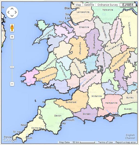
English parish boundaries: map on FamilySearch.org.
Before you click through to the map, you should know:
- Use the main Search interface to search by a specific location.
- Click on layers to indicate whether you want the map to show you boundaries to parishes, counties, civil registration districts, dioceses and more.
- Click and drag the map itself to explore it.
- Wales is also included here but the Welsh data doesn’t appear to be entirely complete (try it anyway–it might have what you need).
- The map isn’t yet permanently operational. It does go down sometimes, possibly because they’re still working on it. It doesn’t print easily. It’s suggested that if you want to print, you hit “Ctrl-Print Screen” and then paste it into Word or another program that accepts images.
Click here to see the FamilySearch England & Wales 1851 Parish map.
Want to learn more about using maps? Premium members can check out my video, “5 Ways to Enhance Your Genealogy Research with Old Maps.” Not a Premium member yet? Click here to learn more.
Noisy New York City, Jamaican Slave Revolt and Other Digital Archive Projects
Digital archives are getting so much better! They’re not just about reproducing historical documents anymore. Multimedia add-ons–from searchable statistics to animated timelines–fill in the gaps not explained by the map keys.
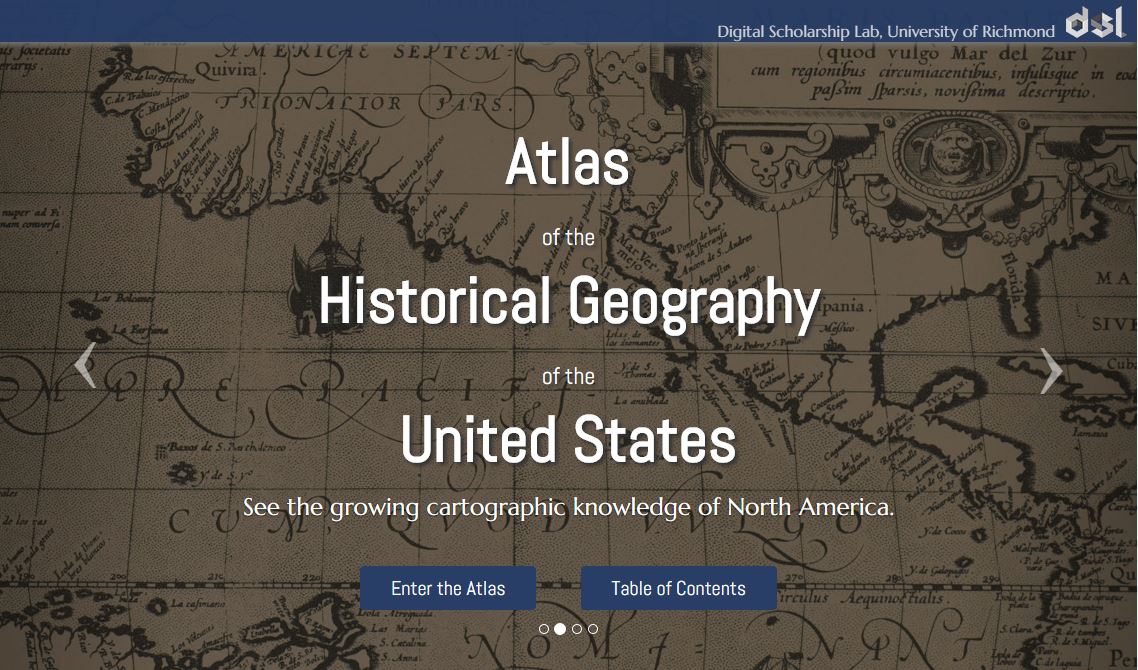
Atlas of the Historical Geography of the United States, http://dsl.richmond.edu/historicalatlas/.
Recently, Slate.com writer Rebecca posted on some of her favorite digital archives. Four of the five are of interest to genealogists! Read the article to learn more about them:
- Noisy New York City: An interactive database on noise complaints in the Big Apple during the 1920s and 1930s.
- What People Were Reading in Muncie, Indiana: A searchable set of public library records showing what books were popular (and among what groups) from 1891-1902.
- Jamaican Slave Revolt: See an interactive map and timeline of the complicated uprising of about 1500 enslaved workers in 1760-61 on the island.
- Atlas of the Historical Geography of the United States: animated atlases that put historical data behind the maps. For example, you can see an animated representation of the growth of the Catholic church in the U.S., 1775-1890.
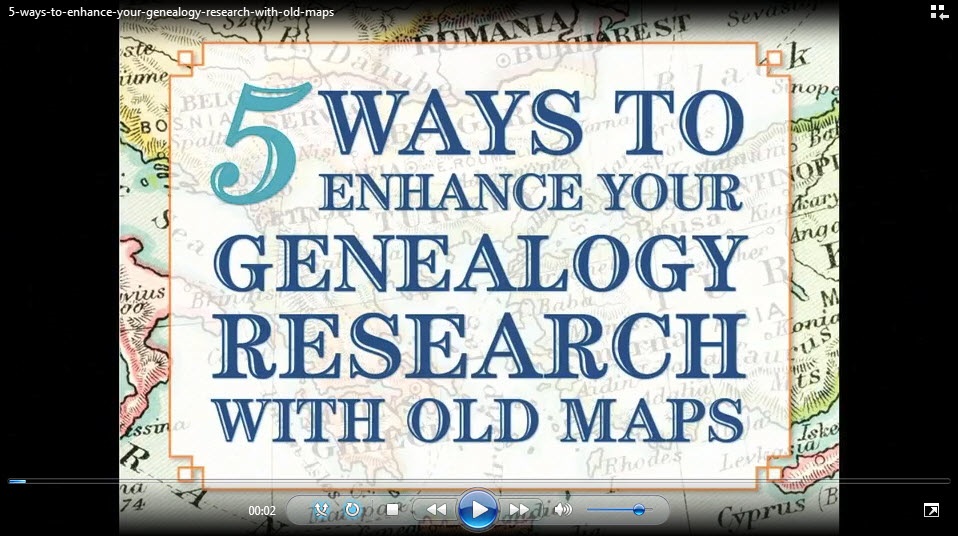
Want to learn more about using maps in your research? Watch my FREE class on Google Earth for Genealogy. Genealogy Gems Premium members can also watch my NEW video class online, 5 Ways to Enhance Your Genealogy Research with Old Maps. (Not a Premium member? Learn more here.)