by Lisa Cooke | Jan 29, 2014 | 01 What's New, Family History Library, FamilySearch, Libraries, Research Skills, RootsTech
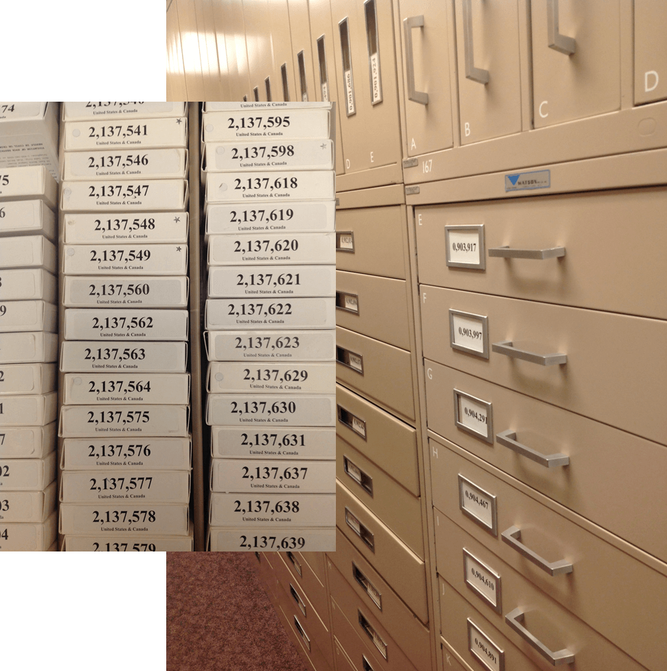
 Whether you’re going to RootsTech next week or not, at some point in your genealogical research you’ll want to use the Family History Library (FHL). The FHL, located in Salt Lake City, Utah, USA, has 6.875 billion historical records on microfilm, which contain an estimated 20.6 billion names. That’s a lot of ancestors!
The FHL and its sponsor organization, FamilySearch International, are busy digitizing and indexing all those records, but it’s going to take some time. And some of those records may never be digitized because of publication rights limitations or other issues. So you should know how to access all those great microfilms!
Yesterday I republished Episode 16 of the original Family History: Genealogy Made Easy podcast. It features a great interview with Margery Bell on using the Family History Library. The show notes have updated tips on using the online catalog. Click here for some must-have tips on preparing for your visit. You’ll get a lot more out of your limited time in the library if you know exactly what information you’re looking for and where you’re going to look for it!
by Lisa Cooke | May 31, 2017 | 01 What's New, Google Earth, Maps |
The Newberry Library’s online Atlas of Historical County Boundaries is finally fully updated and interactive! Read the good news here–and my preference for using the powerful geographic data that drives the Atlas.
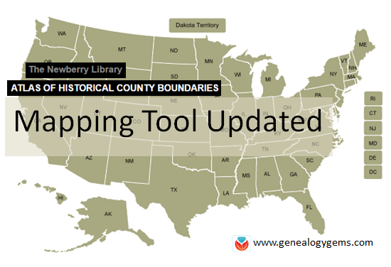 The Atlas of Historical County Boundaries at The Newberry Library’s website has been undergoing upgrades for quite some time. Genealogists who rely on this fantastic online resource to research old county boundaries in the U.S. have been able to access the basic data that drives the map (dates and geographic boundary changes). But they haven’t been able to use the popular interactive map. Great news: the Atlas is finally fully interactive again.
Changing Boundaries Reflected in the Atlas of Historical County Boundaries
Understanding changes in county boundaries over time is key to doing genealogy research in the United States. Boundaries have changed repeatedly–and some dramatically. County governments typically keep important genealogical sources: vital records, court records, land records and more. We need to know which county would have housed our ancestors’ records during specific time periods so we can find the records we want.
What’s New at the Atlas of Historical County Boundaries
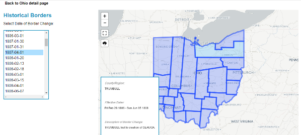
According to the Newberry Library’s press release, users can now:
- view a base layer map that allows an overlay of boundaries on top of cities, towns and other geographic features;
- zoom in and out of maps and expand the view to full screen;
- select a date of interest from a drop-down box with all border change dates for that state; and
- view information about border changes in a hover box that changes as users hover over different counties.
Here’s what the new interface looks like:
Google Earth Pro vs. the Atlas of Historical County Boundaries
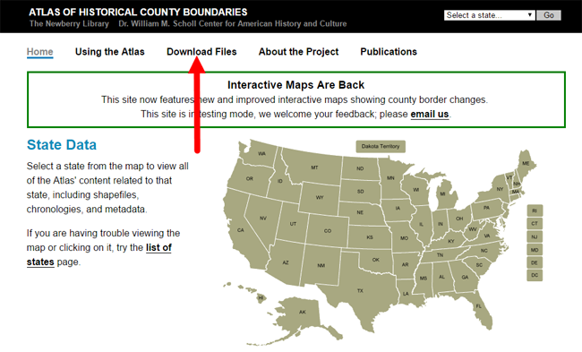
It’s great to see improved functionality on the Atlas site. But after reviewing the update, I still think the experience of using data from the site is superior in the free Google Earth Pro (GEP) program. To use the entire data set in Google Earth Pro, simply download the KMZ data file onto your computer,and when you click to open the file, your computer will detect the KMZ format and know to automatically open Google Earth Pro (as long as you already have GEP installed on your computer.)
Using the file in GEP allows you to use the data in conjunction with the rest of your genealogical information (such as placemarks indiciating places lived & schools attended, historic map overlays, embedded old family photos and home movies, etc.). This provides a more integrated genealogical research experience. Learn more by clicking here to watch a free video I’ve made about using Google Earth for genealogy.
by Lisa Cooke | Nov 19, 2015 | 01 What's New, Blogs, Google Earth
 Lisa Louise Cooke’s free Google Earth for Genealogy online video is so popular, the announcement about it was our #4 genealogy blog post for the year! Guess what? The online video is still there–and it’s still free.
Google Earth is one of Google’s most powerful tools for helping us understanding our ancestor’s world. (And if you read our #6 top post about other Google technologies you can use for genealogy, you know that’s saying something!)
With Google Earth, we can use satellite imagery, terrain maps, 3-D views of city streets and even overlays of old maps to learn about an ancestor’s town, neighborhood and even the very property they lived on. Even better, as Lisa demonstrates in her free video, we can also use Google Earth to share those discoveries with others in multimedia style.
Click here to “fly” (as Google Earth would say) to Lisa’s FREE Google Earth for Genealogy class!
We hope you are enjoying this week’s celebration of our Top 10 blog posts. Don’t forget about our countdown prize this week! Click here to see all Top 10 posts on our genealogy blog–and share that post on your Facebook page by THIS Friday (November 20, 2015). Use the hashtag #genealogygems, and you’ll be entered in a contest to win my Pain Free Family History Writing Project video course download, donated by our friends at Family Tree University. Add any comments you’d like on your “shared” post, like which Genealogy Gems blog post has most inspired you or helped your research. That feedback helps us bring you more posts you’ll love.
 Ready, set, SHARE! And thank YOU for helping us celebrate our 1000th blog post here at Genealogy Gems.
by Lisa Cooke | Jun 12, 2014 | 01 What's New, Google, Maps, Military
 World War II started a revolution in map-making. It didn’t just change maps, but it also changed how the world looked at maps.
Maps suddenly became very interesting to everyone. Not just war strategists and troops but all those left behind on the home front. This interest was fueled even more by a revolution in how maps were made–a revolution that anticipated the information-sharing power of Google Earth.
“War has perennially driven interest in geography, but World War II was different,” reports this article in New Republic. “The urgency of the war, coupled with the advent of aviation, fueled the demand not just for more but different maps, particularly ones that could explain why President Roosevelt was stationing troops in Iceland, or sending fleets to the Indian Ocean.”
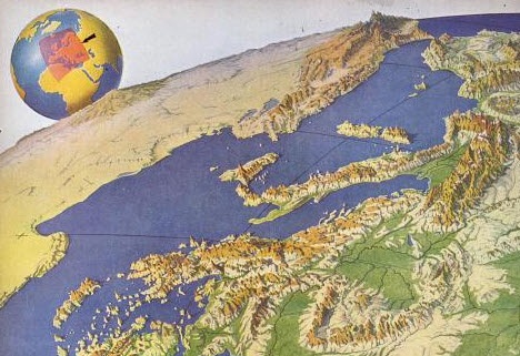
The story focuses on artist Richard Edes Harrison, whose World War II maps portrayed theaters of war with vivid clarity. He used the artist’s tools of shading, color and perspective to create maps “that could be intuitively understood by readers of widely varied levels of literacy and sophistication.” His “colorful and sometimes disorienting pictures (not quite maps)…emphasized relationships between cities, nations, and continents at the heart of the war. These maps were published in Fortune, then issued in an atlas that became an instant bestseller in 1944.”
After reading the article I ran a quick check of Google Books, one of my favorite go-to genealogy resources online, on “Richard Edes Harrison:. Sure enough, Google Books has a fully digitized copy of Life magazine (Feb 28, 1944) which includes the article “Perspective Maps: Harrison Atlas Gives Fresh New Look to Old World.” It’s not only chock full of his color maps, but includes a detailed section on how he drew his maps. You can see it here
What really caught my attention was the article’s explanation of how these World War II maps anticipated the information-sharing power of Google Earth. Google Earth shows us the terrain as well as geographic boundaries. That helps us understand things like movements of troops–or movements of ancestors.
As genealogists, we can learn so much by studying maps–particularly the powerful ones on Google Earth. Genealogy Gems Premium Members have access to my series of videos on Geographic Genealogy, including: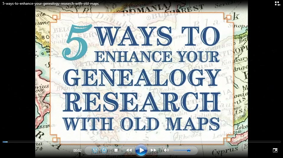
- Google Earth for Genealogy
- Time Travel with Google Earth
- 5 Ways to Enhance Your Research with Old Maps (brand new full hour class – retail value alone $39.95)
P remium Membership is a bargain at only $29.95 for an entire
  year’s access, plus right now you get the free bonus ebook Lisa Louise Cooke’s 84 Best Tips, Tricks & Tools from Family Tree Magazine.
Click here to learn more about Premium Membership.
by Lisa Cooke | Oct 15, 2013 | Ancestry, Records & databases
Ancestry.com has acquired FindAGrave.com, home of 106 million grave records. At this free “virtual cemetery,” users can create memorials for  deceased individuals. Anyone may contribute photos, leave “virtual flowers” and submit data to these memorials. Genealogists use Find a Grave to locate gravemarkers, find hints about relatives’ lives and even connect with others who share an interest in their buy trichomoniasis medication relatives.
Find A Grave’s FAQ page about the Ancestry acquisition addresses what’s on everyone’s mind: how will things change for Find A Grave users and content? Owner Jim Tipton says things will pretty much stay the same: free, protected, and accessible. Read the details on Find A Grave.