It’s time for a new season of Who Do You Think You Are? here in the U.S. Episode one features comedian and actress Aisha Tyler (Archer, GhostWhisper.)
According to TLC, Aisha “tracks down her 2x great-grandfather, whose story had been lost over generations, and uncovers an astonishing tale of a prominent ancestor whose struggle to keep his illegitimate son a secret made headlines.”
The new season of Who Do You Think You Are? premieres Sunday, April 3 at 9/8c
The contributors featured in the upcoming season include:
Scott Foley finds a relative who risked his life for one of America’s founding fathers, and an ancestor who suffered unspeakably during one of this nation’s darkest times.
Lea Michele nails down where her mysterious paternal ancestors came from, and learns of the dire economic circumstances they endured while trying to emigrate to the U.S.
Chris Noth learns his ancestors suffered during one of the greatest catastrophes in American history, and a relative who fought in one of the bloodiest battles of all time.
Molly Ringwald explores family lore of Swedish royalty which uncovers her ancestors’ harrowing lives and a brave woman who forever changed her family’s fate.
Katey Sagal is shocked to learn of her family’s Amish roots, and digs deeper as she realizes the level of dedication to their faith.
Map of Hollywood, 1928. Online at David Rumsey Historical Map Collection. Click on the map for full citation information.
Pictorial maps are both fun and useful for finding our family history. These use illustrations in addition to regular cartographic images to communicate their messages.
For example, this 1928 map of Hollywood, California, inserts faces of the famous and illustrations of local attractions. But maps like those don’t just exist for popular tourist destinations. And now there are even more pictorial maps online and FREE to use at the David Rumsey Map Collection.
According to a press release, “Over 2,000 pictorial maps and related images have been added…in the form of separate maps, pocket maps, case maps, atlases, manuscript maps, and wall maps.” These include “certain panoramic and birds-eye maps, diagrammatic maps, and timelines.” Pictorial maps were especially popular during the 1920s-1940s, but David Rumsey includes many from the 19th century and before. The collection continues to grow; check back often to look for the maps you want most.
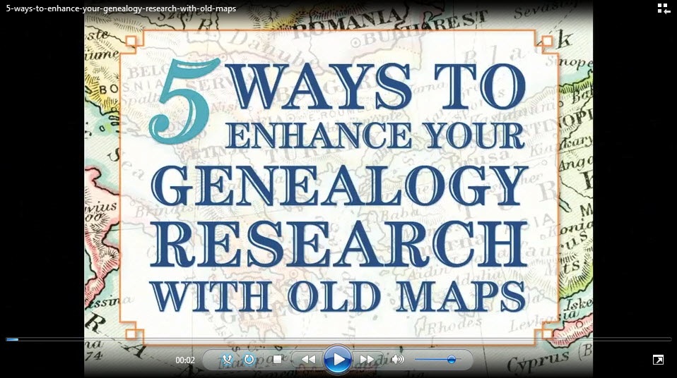
Did you know that I teach an entire video class on using historical maps in genealogy research? I’ve put a free excerpt on the Genealogy Gems YouTube Channel: Using Sanborn Fire Maps for Genealogy and Family History. Watch it below! Genealogy Gems Premium members can watch the full class, which goes in-depth on four MORE types of helpful historical maps, and download the companion handout! (Click here to learn more about Premium membership.)
I love Denise Levenick’s “getting started” strategies for digital photo organization in the free May 2015 Family Tree Magazine podcast.I have thousands of digital photos on my computer–and that’s just from the past few years!
Also in this podcast, Editor Diane Haddad chimes into the conversation with 25 keepsake family photo projects. Then host Lisa Louise Cooke wraps up the photo theme with her favorite strategies for navigating the Library of Congress Prints & Photographs Online Catalog.
Are you ready for some serious hard drive organization? We can help with that! In our free 2-part series, “Organize Your Genealogy Files,” Lisa shares the system she developed about a decade ago to keep her computer hard drive organized. Her system has withstood the test of time: she’s added thousands more files to her genealogy folders as well as folders that organize “the rest of her life.” Click here to go to these episodes of the Family History Made Easy Podcast, episodes 32-33. Genealogy Gems Premium members can also watch the 2-part Premium video series, “Hard Drive Organization.” You’ll learn similar principles but you can watch Lisa do all that digital organizing right on her computer screen!
Disclosure: This article contains affiliate links and Genealogy Gems will be compensated if you make a purchase after clicking on these links (at no additional cost to you). Thank you for supporting Genealogy Gems!
Imperial Airways Map of Empire & European Air by Laszlo Moholy-Nagy, 1937. Online at DavidRumseyHistoricalMaps.com. Click on the image to see full citation information.
Among more than 15,000 maps and images newly posted at the David Rumsey Map Collection, these caught my eye as particularly useful for family history. Do any of them look relevant to YOUR genealogy?
1. A massive group of German Invasion plans for England, Wales, and Ireland in WWII;
Recently we heard from Gordon in Billings, Montana, U.S.A, who passed on news about historical Norwegian maps online now at their National Map Works. He says:
“I have been enjoying your podcasts for a couple of years now, so I though I would pass on a piece of information that some of your listeners might want to hear about.
I don’t know how many of them do research in Norway like I do but I suspect that most of the ones that do, do not make a habit of reading the Norwegian newspapers. Since my wife was born in Norway, we do read her hometown paper on a regular basis. Just yesterday, that paper, Bergens Tidende, had an article reporting that the “Statens Kartverk” (the National Map Works) has recently digitized and posted on-line 8000 historical maps of Norway. (Click here for the article.)
Unfortunately, the website for the maps has not put a link in their English section yet, but there isn’t much to read beyond place names on the maps anyway. You can view the maps here.
Just choose a county, click the green button, and see a wonderful collection of maps for anyone with ancestors from Norway.”
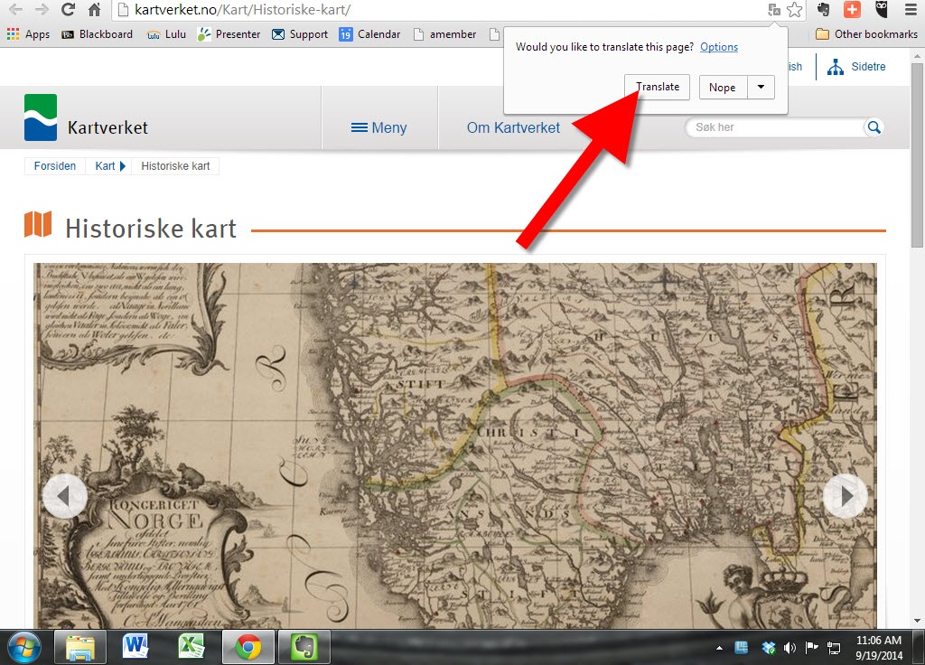
Thanks for the tip, Gordon! I’ll add this tip of my own: Open the website in Chrome and Chrome will automatically offer to translate the website. Simply click the Translate button, like you’ll see below:


 Did you know that I teach an entire video class on using historical maps in genealogy research? I’ve put a free excerpt on the

 Works. He says: