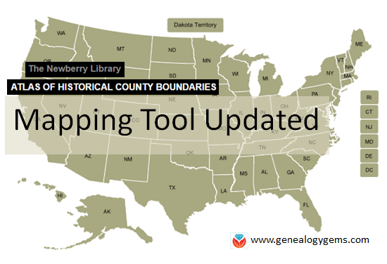
Atlas of Historical County Boundaries has been Updated
The Newberry Library’s online Atlas of Historical County Boundaries is finally fully updated and interactive! Read the good news here–and my preference for using the powerful geographic data that drives the Atlas.
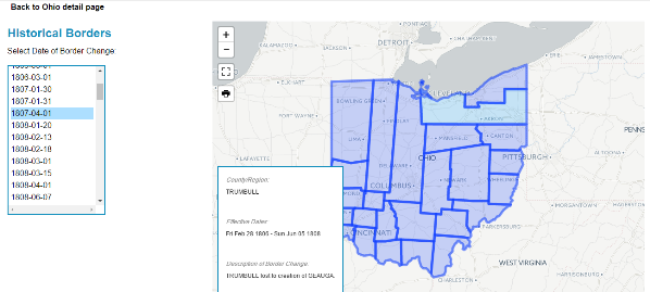
 The Atlas of Historical County Boundaries at The Newberry Library’s website has been undergoing upgrades for quite some time. Genealogists who rely on this fantastic online resource to research old county boundaries in the U.S. have been able to access the basic data that drives the map (dates and geographic boundary changes). But they haven’t been able to use the popular interactive map. Great news: the Atlas is finally fully interactive again.
Changing Boundaries Reflected in the Atlas of Historical County Boundaries
Understanding changes in county boundaries over time is key to doing genealogy research in the United States. Boundaries have changed repeatedly–and some dramatically. County governments typically keep important genealogical sources: vital records, court records, land records and more. We need to know which county would have housed our ancestors’ records during specific time periods so we can find the records we want.
What’s New at the Atlas of Historical County Boundaries
According to the Newberry Library’s press release, users can now:
- view a base layer map that allows an overlay of boundaries on top of cities, towns and other geographic features;
- zoom in and out of maps and expand the view to full screen;
- select a date of interest from a drop-down box with all border change dates for that state; and
- view information about border changes in a hover box that changes as users hover over different counties.
Here’s what the new interface looks like:
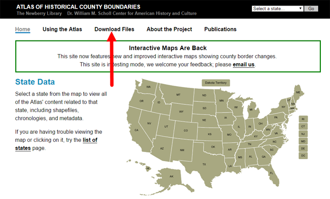
Google Earth Pro vs. the Atlas of Historical County Boundaries
It’s great to see improved functionality on the Atlas site. But after reviewing the update, I still think the experience of using data from the site is superior in the free Google Earth Pro (GEP) program. To use the entire data set in Google Earth Pro, simply download the KMZ data file onto your computer,and when you click to open the file, your computer will detect the KMZ format and know to automatically open Google Earth Pro (as long as you already have GEP installed on your computer.)
Using the file in GEP allows you to use the data in conjunction with the rest of your genealogical information (such as placemarks indiciating places lived & schools attended, historic map overlays, embedded old family photos and home movies, etc.). This provides a more integrated genealogical research experience. Learn more by clicking here to watch a free video I’ve made about using Google Earth for genealogy.