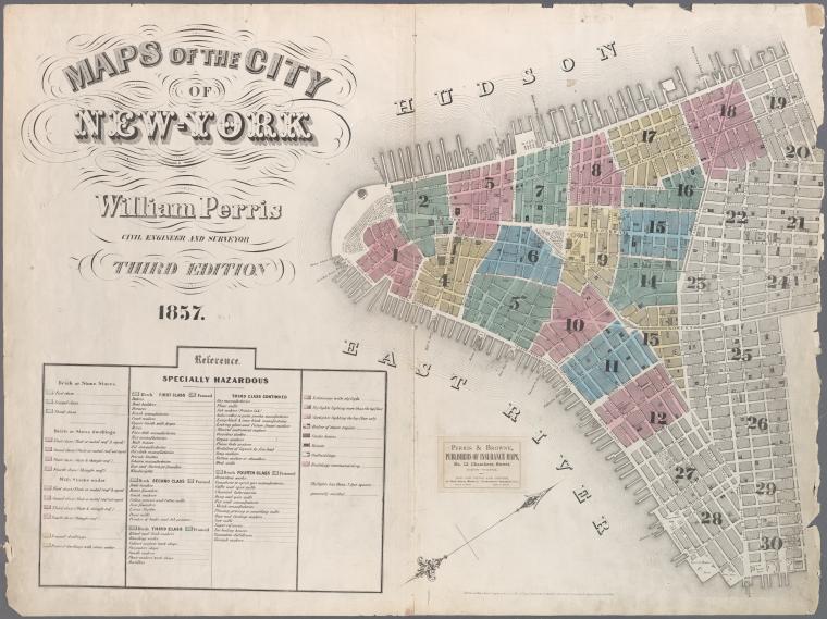
Map of New York City, 1857. Click for full citation information.
Thousands of historical maps of New York City, the mid-Atlantic states and even the Austro-Hungarian empire (yes, really!) are now online–and they’re free.
The New York Public Library has published more than 20,000 historical maps dating from 1660-1922. They are free for public use, downloading, manipulating and publishing! A lot of the maps are from New York City neighborhoods, like the one shown here.
The author of a news item about the collection said this: “We can’t imagine too many people wanting to remix Gangs of New York-era property charts, but it’s hard to object to getting more geographic knowledge at no charge.” Well, we genealogists may not “remix” these old property maps, but we can certainly see the value in them!
Do you use maps in your research? Have you tried overlaying a historical map showing an ancestor’s home with a modern one on Google Earth? Learn more about using Google Earth in your genealogy research in this FREE video.
And if this post is interesting to you, you should also read this blog post about interactive historical maps of major cities (like New York City).
