Recently we heard from Gordon in Billings, Montana, U.S.A, who passed on news about historical Norwegian maps online now at their National Map  Works. He says:
“I have been enjoying your podcasts for a couple of years now, so I though I would pass on a piece of information that some of your listeners might want to hear about.
I don’t know how many of them do research in Norway like I do but I suspect that most of the ones that do, do not make a habit of reading the Norwegian newspapers. Since my wife was born in Norway, we do read her hometown paper on a regular basis. Just yesterday, that paper, Bergens Tidende, had an article reporting that the “Statens Kartverk” (the National Map Works) has recently digitized and posted on-line 8000 historical maps of Norway. (Click here for the article.)
Unfortunately, the website for the maps has not put a link in their English section yet, but there isn’t much to read beyond place names on the maps anyway. You can view the maps here.
Just choose a county, click the green button, and see a wonderful collection of maps for anyone with ancestors from Norway.”
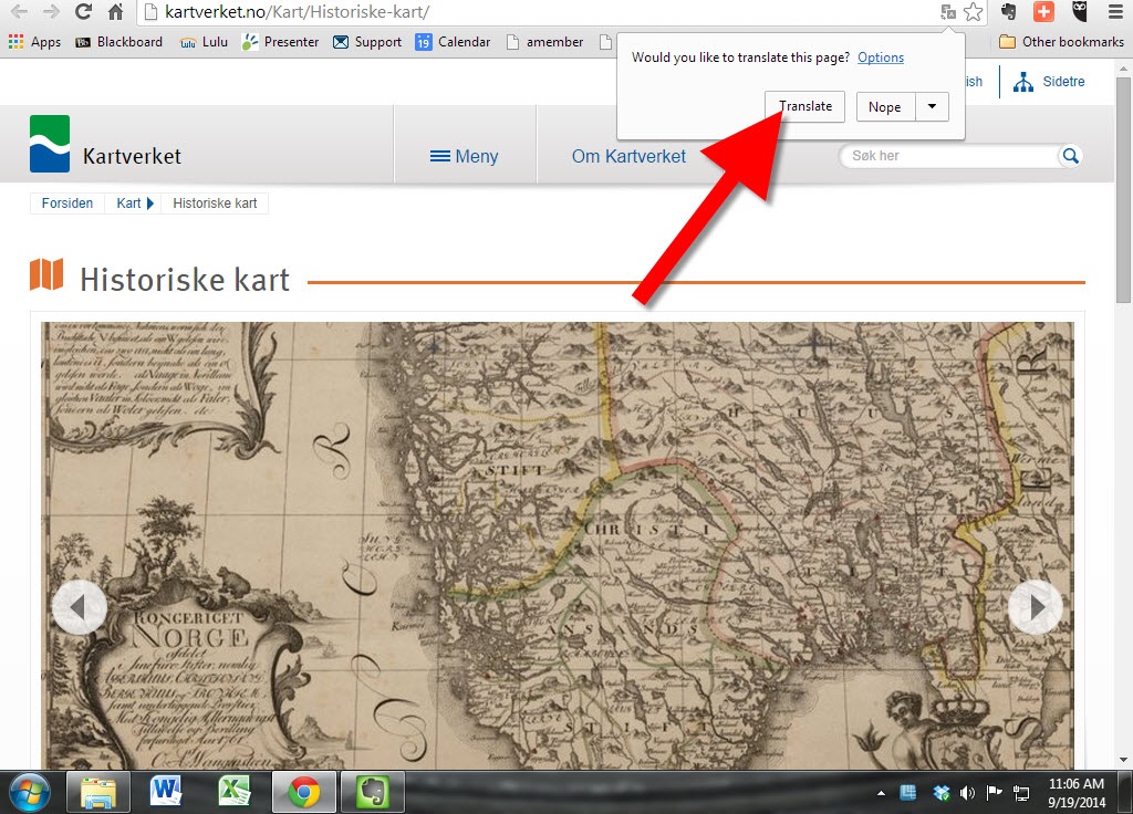
Thanks for the tip, Gordon! I’ll add this tip of my own: Open the website in Chrome and Chrome will automatically offer to translate the website. Simply click the Translate button, like you’ll see below: